
Brazoria County ZIP Code Coverage
Brazoria County's ZIP coverage combines delivery labels for county-seat, coastal, rural, and north-county communities. The following table preserves the 21 ZIP leads compiled from the Brazoria County EDA study and the USPS and Census cross-check framework. A ZIP is a delivery construct. Exact address service belongs with USPS, especially where a community label crosses city limits or county lines.
| ZIP | Areas Covered | Post Office | Notes |
|---|---|---|---|
| 77422 | Brazoria, rural central and south county | Brazoria | Standard delivery; rural areas can share labels |
| 77430 | Damon | Damon | Standard rural-community ZIP |
| 77431 | Danciger | Danciger | Small rural ZIP; verify delivery point |
| 77463 | Old Ocean | Old Ocean | Cross-check retained; verify exact delivery point with USPS |
| 77480 | Sweeny | Sweeny | Standard delivery; nearby places may share label |
| 77486 | West Columbia and Columbia Lakes area | West Columbia | Standard delivery with rural surroundings |
| 77511 | Alvin and Algoa | Alvin | Standard; city, ETJ, and county lines can differ |
| 77512 | Alvin | Alvin | PO Box ZIP in local study |
| 77515 | Angleton, Bailey's Prairie, Bonney, Anchor, McBeth leads | Angleton | County-seat area and adjacent rural communities |
| 77516 | Angleton | Angleton | PO Box ZIP in local study |
| 77531 | Clute and Richwood | Clute | Standard; city and community labels overlap |
| 77534 | Danbury | Danbury | Standard delivery |
| 77541 | Freeport, coastal Quintana and Surfside leads | Freeport | Coastal delivery; municipality depends on address |
| 77542 | Freeport | Freeport | PO Box ZIP in local study |
| 77566 | Lake Jackson | Lake Jackson | Standard Brazosport-region ZIP |
| 77577 | Liverpool | Liverpool | Standard small-community ZIP |
| 77578 | Manvel | Manvel | Standard, growing north-county delivery area |
| 77581 | Pearland and Brookside Village | Pearland | Standard; municipal and county mismatch is common |
| 77583 | Rosharon and rural southwest | Rosharon | Large rural and suburban delivery area |
| 77584 | South Pearland | Pearland | Standard; city, ETJ, and county lines can differ |
| 77588 | Pearland | Pearland | PO Box ZIP in local study |
The local study's ZIP counts came from a participating-employer place-of-residence study. They are not county population or voter-registration totals and should not be used as a count of people in any ZIP.
Brazoria County ZIP Code Areas
One county label can point in several directions. The north includes Pearland, Manvel, Alvin, and nearby growth areas. The center includes Angleton and the county-seat vicinity. The south and coast include Clute, Freeport, Lake Jackson, Quintana, and Surfside leads. Brazoria, West Columbia, Sweeny, Damon, Rosharon, Danciger, Liverpool, and Old Ocean require equal attention to the post office, community label, and legal parcel description.
For an unincorporated road, the city label, county, city limits with ETJ, school district, drainage district, and ZIP can all describe different areas. The county GIS maps show city limits with ETJ and road or district context, but the county says these maps are visual-reference products, not daily updated surveys. County Engineering handles floodplain and road context, while parcel ownership routes to the appraisal district.
Brazoria County ZIP Code Mismatches
The most useful local mismatch examples are specific. ZIP 77515 can serve Bailey's Prairie, Bonney, Anchor, McBeth, and other county communities that are not Angleton city residents. ZIP 77581 covers Pearland and Brookside Village. ZIP 77531 covers Clute and Richwood. ZIP 77541 can point to coastal cities and communities. ZIPs 77511, 77578, and 77583 also reach rural or ETJ growth outside a simple incorporated-city label.
Those differences are why a ZIP result should be followed by the exact parcel and applicable map layer, rather than a broad claim about a person's local jurisdiction.
Brazoria County ZIP Code Verification
USPS ZIP Code Lookup is the exact-address tool. It checks a delivery point, not a generalized county polygon. Enter the complete address when possible, then preserve the returned ZIP and ZIP+4 for mailing verification. The service is the required check for 77463, which was retained as an Old Ocean cross-check lead and needs confirmation of its current county association and delivery point.
The USPS lookup screen accepts a full address for delivery verification.
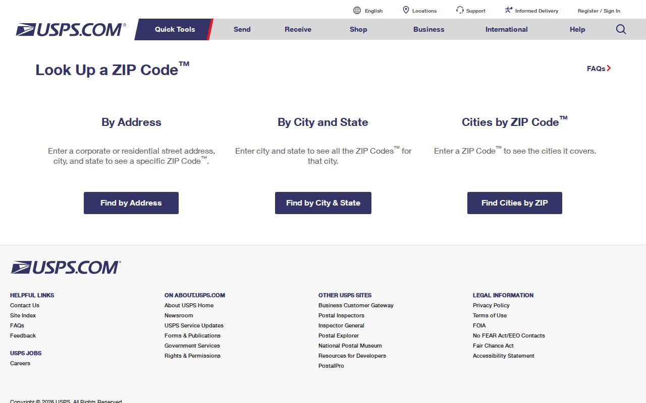
A postal return verifies delivery information for the address submitted. It does not settle city incorporation or parcel ownership.
Brazoria County ZIP Code Search Steps
Use ZIP as a geographic filter, not a resident list. Once the delivery ZIP is confirmed, shift to the record system that answers the next question. A parcel record ties a legal property description to a location, while the city-limit and precinct layers answer separate civic-boundary questions.
- Run the complete address through USPS and retain the returned ZIP or ZIP+4.
- Search the parcel by street, owner, property ID, or geographic ID in BCAD eSearch.
- Compare the situs, legal description, and map location with county city-limit or ETJ context.
- Use a lawful voter request or individual lookup only for the limited registration question it can answer.
- For a street-level parcel sequence after the ZIP is narrowed, use the Brazoria County street directory workflow.
Do not substitute a mailing ZIP for the property identifier when records use a lot, block, subdivision, abstract, survey, or geographic ID.
Brazoria County ZIP Code Portal Limits
Local tools do not offer a documented, standalone ZIP-wide resident search. The Tax Office has a search box and controls for account type, inactive accounts, and paid status, but its visible instructions point to account number, owner name, owner mailing address, and property location rather than a ZIP field. BCAD eSearch supports owner, street, property, subdivision, neighborhood, and tax-year paths, but the inspected form does not expose a standalone ZIP field.
| USPS | Exact-address delivery ZIP verification; no parcel ownership or civic-boundary determination. |
|---|---|
| BCAD eSearch | Parcel, owner, street, subdivision, neighborhood, and tax-year routes; no documented standalone ZIP field. |
| Tax Office search | Account, owner, owner mailing address, property location, and payment status; no visible ZIP filter. |
| County GIS | City-limit, ETJ, road, flood, drainage, and precinct context; a ZIP overlay is not promised. |
| VoteTexas | Individual name route uses ZIP with county and date of birth; it is not a ZIP-browse tool. |
The BCAD parcel search is the official property step after a ZIP has narrowed the address.
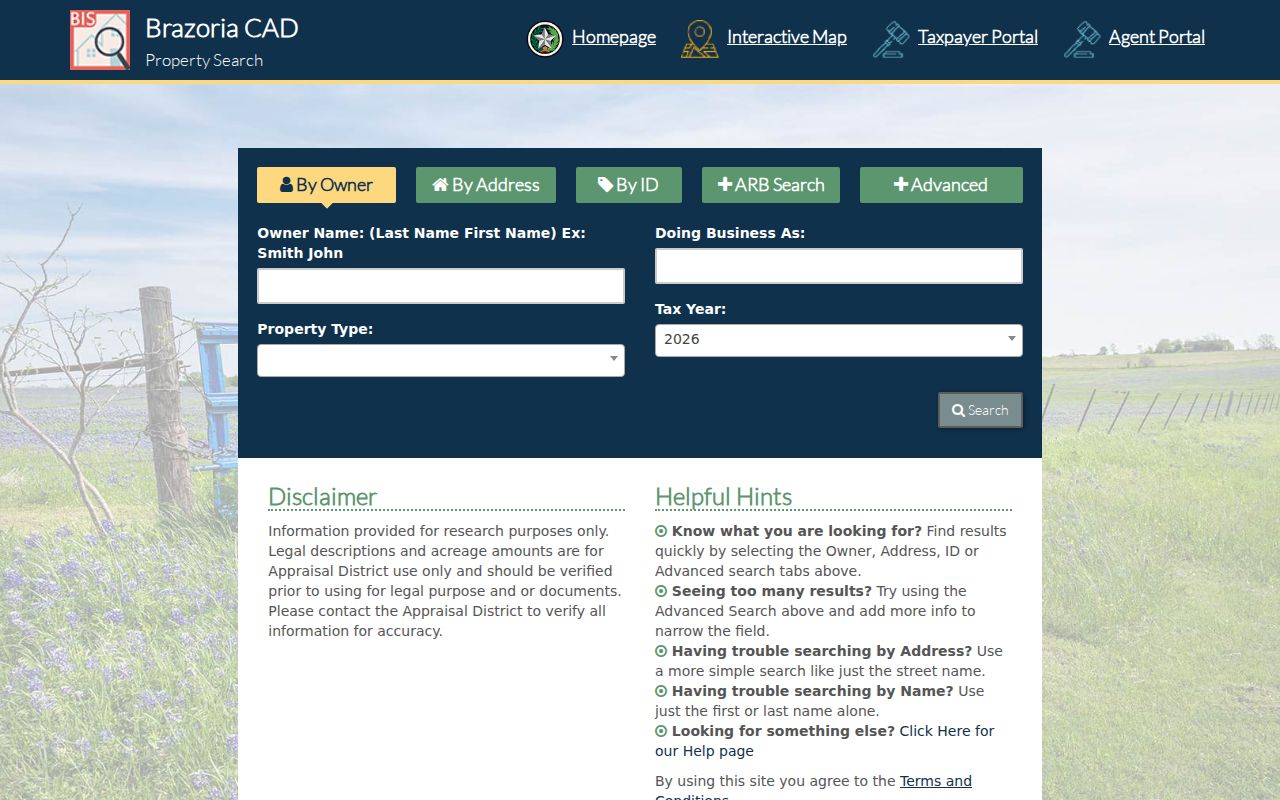
The search fields identify parcels and appraisal associations, not everyone receiving mail in a ZIP.
Brazoria County ZIP Code Tax Search
The Brazoria County Tax Office search is complementary to BCAD rather than a duplicate. It distinguishes Owner Address, meaning a mailing address, from Property Location, meaning the actual property address. Its guidance says to omit street type and direction for a property-location search. That distinction is useful when a delivery label and a situs address appear to disagree.
The Tax Office search interface distinguishes the searchable mailing and property-location paths.
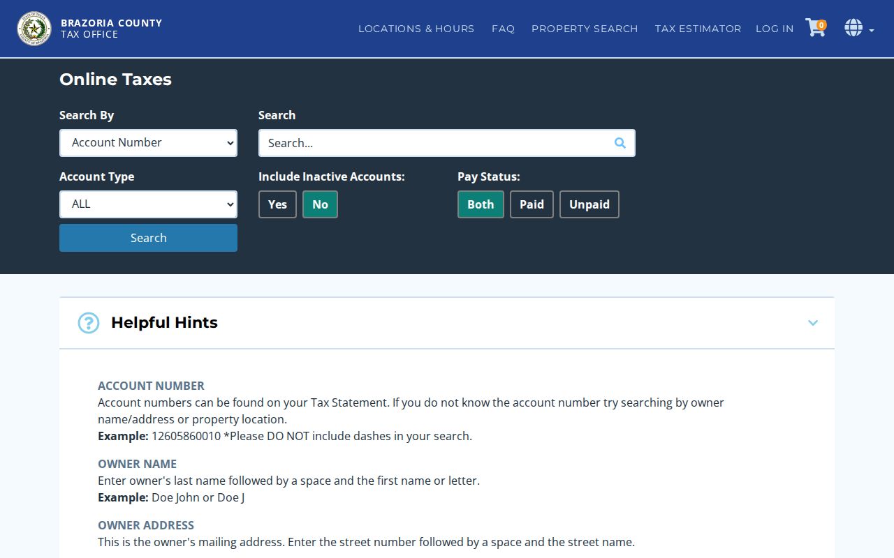
Its controls can refine a known property record, but the documented interface does not make it a ZIP-directory search.
Brazoria County ZIP Code Definitions
Postal terms describe delivery service, while property and government records use separate boundaries. Keeping the terms apart prevents a search result from claiming more precision than it has.
- ZIP
- A USPS delivery-area code used to route mail. It is not a legal city boundary.
- ZIP+4
- The additional four digits that refine a delivery segment or address beyond the basic five-digit ZIP.
- PO Box ZIP
- A ZIP used for post-office boxes and not an ordinary residential area. The local study marks 77512, 77516, 77542, and 77588 this way.
- Unique ZIP
- A delivery code that can serve a single organization or delivery point rather than a broad neighborhood.
- Carrier route
- A postal delivery sequence that may cross locally familiar geographic labels and does not define a municipal boundary.
For an exact postal question, USPS is the source. For a generalized geography comparison, Census uses a different product.
Brazoria County ZIP Code Geography
Census ZIP Code Tabulation Areas, or ZCTAs, are generalized areas built from 2020 census blocks. They help organize statistics, but they are not USPS delivery boundaries. A ZCTA can be noncontiguous, omit a valid ZIP, or handle a PO Box or unique ZIP differently. Census specifically directs postal questions to USPS and does not treat a ZCTA as a legal city limit.
The Census ZCTA explanation distinguishes statistical geography from postal delivery.
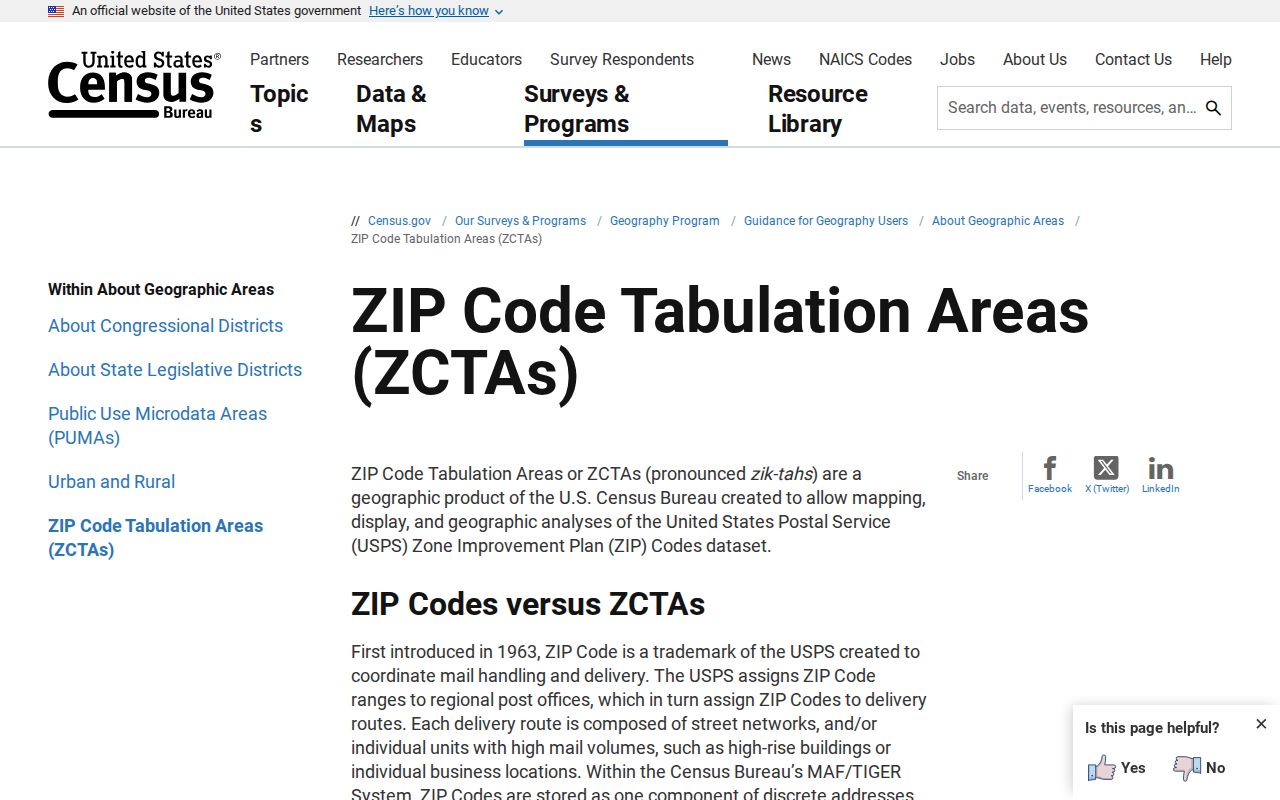
Use the ZCTA view for broad statistical geography and the USPS return for the address actually being mailed.
Brazoria County ZIP Code Map Roles
County map responsibility is deliberately split. Brazoria County Engineering and GIS handles county road, right-of-way, floodplain, drainage, precinct, and city-limit context. Parcel ownership and assessment data are routed to BCAD. This distinction is useful when a ZIP result needs both an ownership record and a boundary check: start with the parcel at BCAD, then use the appropriate county map layer for the separate geographic question.
County GIS says its maps are convenience and visual-reference products. They are not daily updated legal surveys, permit determinations, elevation certificates, or exact right-of-way documents. A line on a map should therefore guide the next office contact, not replace the custodian's record or a formal survey.
Brazoria County ZIP Code History
Older deeds, tax rolls, and census records can predate ZIP coding or use a historic place label instead. Brazoria, Velasco, Columbia, West Columbia, a rural route, a precinct, or a legal description may be the route into an older record. A subdivision lot and block, abstract and survey, acreage, or a deed's legal description can bridge a modern street address to that earlier language.
The current county city-limit and ETJ map can orient a modern address, but it cannot replace an older legal description or promise a historic postal label. Pair an early place name with the parcel's abstract or survey, lot and block, and the source date. That comparison is especially useful where rural routes and later city labels describe the same general area differently.
No official local ZIP split or realignment year was located in the research. Do not assign a date to a supposed ZIP boundary change without a postal source. For historical location questions, search the town, post office, county, route, and legal description together.